How to Read a Geological Map for Crystal Hunting in the UK
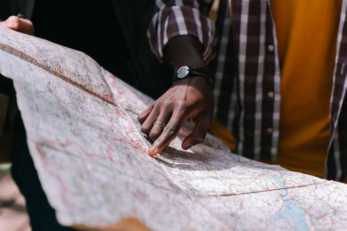
Most crystal hunters start the same way: a tip from a friend, a walk along a known beach, a lucky find in a stream bed. Then the finds dry up and the question changes from "where do I look?" to "how do I know where to look?" That is where a geological map earns its keep. It is not a treasure map, and it will not mark an X on a pocket of amethyst, but it will tell you what rock lies under the soil, how old it is, what has happened to it since, and whether the conditions for mineral formation were ever present in the first place.
The good news is that the UK is one of the best-mapped countries on earth. The British Geological Survey has spent well over a century covering these islands in remarkable detail, and much of that information is free to view online. Learning to read it takes an afternoon of patience and a few walks to check your reading against reality.
Start with the right map at the right scale
BGS publishes its geology at several scales, and picking the wrong one is the most common beginner's error. The 1:625,000 series covers the whole country on a couple of sheets. It is useful for understanding the broad picture, but far too coarse for planning a trip. The 1:50,000 series, often called the "solid" or "bedrock" maps, is the workhorse for field work: one sheet covers roughly 30 km by 20 km, and individual rock units are separated in enough detail to be genuinely useful. For specific sites, the 1:10,000 maps or the detailed sheet memoirs go further still.
There are also two families of 1:50,000 maps worth knowing. Bedrock maps show the solid rock as if the soil and recent deposits were stripped away. Superficial deposit maps show the gravel, sand, clay and peat laid down in the last couple of million years. For crystal hunting you usually want the bedrock map first, then a glance at the superficial map to check whether your target rock is buried under thick drift.
Decoding the key and the colours
Every sheet comes with a key, and the key is where the real information sits. Colours are not arbitrary: they follow a system, and once you learn it you can read almost any British sheet at a glance.
- Colour family tells you the era. Warm colours, reds, oranges and pinks, generally indicate older rocks such as Devonian and Precambrian. Pale blues, greens and yellows cover the Jurassic, Cretaceous and other Mesozoic rocks. Grey and pale tones are often Quaternary drift.
- Letters and numbers are the code. A unit might be labelled something like "DA" for the Dartmoor Granite or "CG" for the Cornish Granites. The key decodes each one.
- Ornament matters as much as colour. Dots, dashes, brick patterns and small symbols show lithology; wavy lines show folds, and heavy lines with ticks or arrows show faults and their direction of movement.
- Look for the cross-section. Many sheets include a vertical slice across the map. It shows how the rock units dip and fold underground, which is often more revealing than the surface pattern.
Read the key before you read the map. Ten minutes spent on the legend saves an hour of confusion in the field.
Learn which rocks are worth your time
Not every rock hosts crystals, and knowing the difference narrows your search dramatically. The following are the ones most beginners should be able to recognise on a map.
Granite and other igneous intrusions
Granite bodies appear on BGS maps as distinct blobs, usually in a contrasting colour to the surrounding rock, often marked with a pattern of crosses or dashes. These are the classic hunting grounds. As magma cooled, late-stage fluids moved through fractures and left behind minerals: quartz, feldspar, tourmaline, fluorite, topaz and, in some places, cassiterite. Dartmoor, Bodmin Moor, the Lake District and the granite of Aberdeenshire and Galloway are all obvious on a map for this reason. Look for the contact zone, where the granite meets the surrounding country rock; that is where fluids concentrated.
Hydrothermal veins and mineralised belts
Maps sometimes show veins as fine red or black lines cutting across the main rock units, particularly on the older mining sheets. In Cornwall, Devon, the Pennines and parts of Wales and Scotland, these lines trace the mineral veins worked for tin, copper, lead and fluorspar. A cluster of veins near a fault is a strong signal.
Metamorphic terrain
Slate, schist and marble appear in the Scottish Highlands, parts of Wales and the Lake District. These rocks record heat and pressure, and their minerals reflect that: garnet, kyanite, staurolite and, in the right settings, talc and serpentine. The Highland Boundary Fault and the Dalradian belt are worth studying on a map before you go.
Sedimentary rocks with a chance
Most sedimentary rocks are unfashionable for crystal hunting, but not all. Limestone country can produce calcite, aragonite and, occasionally, fluorite in veins. Sandstones and shales may carry pyrite, gypsum or baryte in fractures. And any geological map will show you where former evaporite beds sat, which is where you find gypsum and halite.
Read the map for structure, not just rock type
The same rock unit can be barren in one place and productive in another, and the difference is usually structure. Faults act as plumbing for mineralising fluids; where two faults intersect, the rock is often broken and the minerals concentrated. Folds do something similar: crests and troughs of folds crack, and those cracks fill.
On a BGS sheet, faults appear as heavy lines, sometimes dashed where inferred, with tick marks showing the downthrow side. Study where they cut across granite contacts or limestone. Then check the cross-section to see whether the fault is vertical or at a shallow angle. Shallow faults are often more productive for veins because the fractured zone is wider.
Tip: photograph the key and a section of the map on your phone before you set off. Signal is unreliable on moorland, and a PDF on a cracked screen in the rain is no substitute for a paper copy in a map case.
Match the map to the ground
A geological map is a hypothesis until you stand on the rock. Take the map, a hand lens, a compass and a notebook. Find a boundary marked on the map and walk across it. Does the ground change as predicted? On Dartmoor, for example, the granite is pale and coarse, the country rock is darker and finer, and the boundary is often marked by a change in vegetation and drainage. Verify two or three boundaries and you will start to trust the map, and to spot the places where it is generalised or where a quarry or road cutting has exposed something the surveyor could not see.
Check access before you go. In the UK, most land is privately owned, and the right to roam covers specific areas rather than everywhere. Never enter active or disused mine workings, quarries or shafts; they are unstable, poorly ventilated and often on private land. Collect from loose material on the surface, respect Sites of Special Scientific Interest, and follow the Countryside Code. If a site is protected, leave it alone.
Putting it into practice
Pick one manageable area for your first proper attempt, ideally somewhere with a clear granite contact or a known vein system, and work through the process properly. Order or download the relevant 1:50,000 bedrock sheet, read the key from top to bottom, and mark three things: the igneous bodies, the faults, and the contact zones between them. Then look for accessible ground near those features: stream beds, coastal exposures, footpath cuttings and old spoil heaps.
Build a small reference file as you go. Note the sheet number, the rock unit code and what you actually found. After a handful of trips, you will notice that your notes start to predict your finds. That is the point at which a geological map stops being a colourful poster and becomes the most useful tool in your kit. It will not find crystals for you, but it will send you to the right places, which is most of the battle.
Photo: Ivan S / Pexels